No Result
View All Result
AerialFire
  • Articles
    • Columns
    • Cover Stories
    • Drone/UAS
    • Feature Stories
    • Fire Regulations
    • Government
    • Ground Ops
    • Helicopter
    • International Operations
    • LAT
    • Press Release
    • Retardant
    • SEATs
    • Technology
    • VLAT
    • Wildfire
  • Store
  • Current Issue
  • Contact Us
Subscribe
AerialFire
No Result
View All Result
Home Aerial Fire News

Oregon Department of Forestry Multi-Mission Aircraft Making Strides in Early Wildfire Detection

by Ryan Mason
March 9, 2023
in Aerial Fire News, Government, Press Release
Reading Time: 3 mins read
Oregon Department of Forestry Multi-Mission Aircraft Making Strides in Early Wildfire Detection

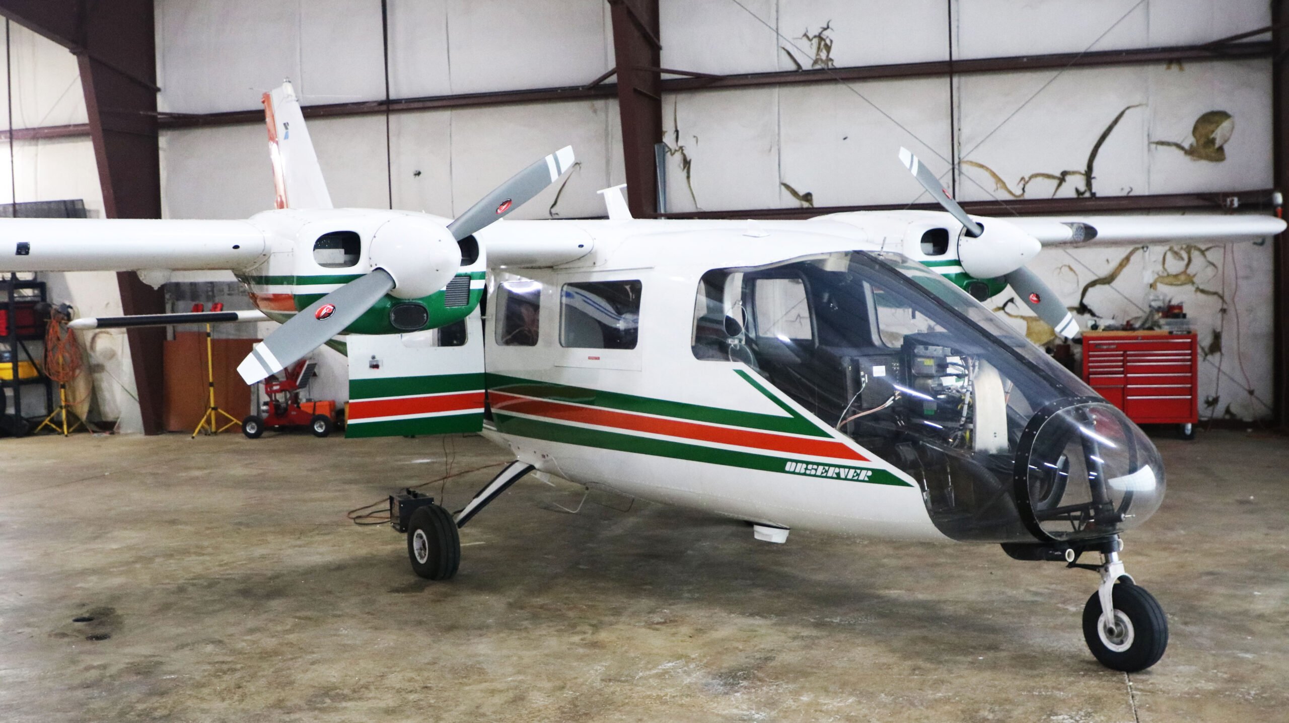
Oregon Department of Forestry’s (ODF) Partenavia P-68 Observer has had many uses in the last 40 years, but its most recent function is as the platform for the department’s nighttime wildfire detection work. Using night vision and an FLIR camera system that is paired with an augmented reality mapping system, this multi-mission aircraft (MMA) allows for quick detection and response to dozens of wildfires every year.

During fire season, the Partenavia flies at night looking for signs of wildfires started by lightning. What makes this system unique and successful is the marrying of several technologies that couldn’t do the job on their own. ODF uses night-vision goggles (NVGs) and infrared sensors to initially spot suspected new fires. Then a laser pointer that is only visible in the NVGs, is used to communicate the exact position of the possible new fire to the observer/camera operator. Finally, the observer uses the infrared sensors and the high-power zoom to confirm whether it is actually a new fire and not another light source. Using any of these tools alone would be only fractionally as effective and take up more valuable time.

“As far as I’m aware, we’re one of the first states combining night vision and infrared into our aircraft to detect fires early,” Cole Lindsay, aviation coordinator for ODF’s Northwest Oregon Area, which protects approximately 3.5 million acres of forestland in northwestern Oregon from wildfire. “Using these tools together allows us to fly at night after a thunderstorm, find small fires in remote areas, and then send detailed information to our dispatch center so that they can send out the appropriate resources to extinguish the fire.”

Once the point is determined to be a new fire it get documented and reported.  The observer views the location in a map screen and the augmented reality system (ARS), which overlays all known information like roads, streams and names, onto the video screen as if they were on the ground. The still images and videos on these two screens give a sense of where the fire is and what it is doing. Going a step further, attributes of the fire are drawn and labeled on the video screen, and ARS turns those into data points and polygons.

During the summer months, the aircraft is centrally based in Redmond, Oregon to allow access to the entire state. Using the MMA catch fires early is just one of the ways that ODF works to prevent larger wildfires.

In the 2022 fire season, the MMA detected 69 fires, 60of which were detected during extreme fire danger. The early detection of these fires helped to prevent the majority of them from growing into larger fires. Out of the 69 total detections, none of the fires on ODF-protected lands grew larger than 10 acres.  Over the span of the season, ODF pilots and operators banked approximately 92 hours in the sky in search of new fire starts, the most in one night being 21 detections.

The MMA is also used as ‘eyes in the sky’ for incidents. The MMA provides a valuable aerial perspective and facilitates the gathering information including the fire perimeter, possible helispots, and the attributes and behavior of the fire that can be loaded into a map for the ground crews to use. The information gathered is provided to the ground as a complete package that allows ground forces to view, strategize, and attack the fire with more situational awareness than they would have otherwise. In the 2022 season, the Partenavia executed four of these mapping missions.

“We’re very proud of our achievements using the Partenavia,” said Neal Laugle, ODF Aviation Unit manager. “However, with the high demand for the resource, it’s difficult to meet the needs of the entire state with just one aircraft, which leaves our team having to prioritize certain areas over others during times of extreme fire danger in the state.”

Though the aircraft and program received investments in the 2021 Oregon Legislative Session, there is still plenty of room to grow.

“A wish list item for our program would be another multi-mission aircraft to better support the entire state, and to create a backup for the agency since the Partenavia is 40 years old. The aircraft is not getting any younger, and with that age comes more maintenance,” said Laugle.


Tags: ODFOregon Department of Forestry

Ryan Mason

Related Posts

Tabula and Plane Finder Partner to Deliver ADS-B In Capability for Enhanced Cockpit Awareness

Tabula and Plane Finder Partner to Deliver ADS-B In Capability for Enhanced Cockpit Awareness

by AerialFire Staff
May 23, 2025

Mosgiel, NZ, May 23, 2025 - Tabula, a leading provider of job management and fleet tracking solutions for aerial operations, has...

Avincis Secures Firefighting Contracts in Spain for 14 Aircraft

Avincis Secures Firefighting Contracts in Spain for 14 Aircraft

by AerialFire Staff
May 22, 2025

ALICANTE, Spain – May 22, 2025: Avincis, Europe’s leading provider of emergency aerial services, has been awarded new wildfire response...

Bridger Aerospace and Positive Aviation Announce Joint Partnership for the Development of Water Scooping Aircraft

Bridger Aerospace Secures Record 120 Day Task Orders for Four of its Super Scoopers

by AerialFire Staff
May 22, 2025

BELGRADE, Mont., May 22, 2025 (GLOBE NEWSWIRE) - Bridger Aerospace Group Holdings, Inc. (“Bridger”, “the Company” or “Bridger Aerospace”), (NASDAQ:...

Precision Aviation Group Australia Signs Exclusive Distribution Agreement with Honeywell for RDR-7000 Weather Radar System for Honeywell Authorized Channel Partners in Asia Pacific

Precision Aviation Group Australia Signs Exclusive Distribution Agreement with Honeywell for RDR-7000 Weather Radar System for Honeywell Authorized Channel Partners in Asia Pacific

by AerialFire Staff
May 22, 2025

Atlanta, Georgia – May 22, 2025 – Precision Aviation Group Australia (PAG), a leading provider of products and value-added services...

Trending News

No Content Available
Tabula and Plane Finder Partner to Deliver ADS-B In Capability for Enhanced Cockpit Awareness
Aerial Fire News

Tabula and Plane Finder Partner to Deliver ADS-B In Capability for Enhanced Cockpit Awareness

by AerialFire Staff
May 23, 2025
Avincis Secures Firefighting Contracts in Spain for 14 Aircraft
International Operations

Avincis Secures Firefighting Contracts in Spain for 14 Aircraft

by AerialFire Staff
May 22, 2025
Bridger Aerospace and Positive Aviation Announce Joint Partnership for the Development of Water Scooping Aircraft
Helicopter

Bridger Aerospace Secures Record 120 Day Task Orders for Four of its Super Scoopers

by AerialFire Staff
May 22, 2025
Precision Aviation Group Australia Signs Exclusive Distribution Agreement with Honeywell for RDR-7000 Weather Radar System for Honeywell Authorized Channel Partners in Asia Pacific
Press Release

Precision Aviation Group Australia Signs Exclusive Distribution Agreement with Honeywell for RDR-7000 Weather Radar System for Honeywell Authorized Channel Partners in Asia Pacific

by AerialFire Staff
May 22, 2025
AerialFire

© 2025 AerialFire, a Marsayl Media Publication. All rights Reserved.

Navigate Site

  • Privacy Policy
  • Terms of Service
  • Advertise With Us
  • Contact Us

Follow Us

No Result
View All Result
  • Home
  • Subscribe
  • Store
  • Current Issue
  • Advertise With Us
  • Contact Us

© 2025 AerialFire, a Marsayl Media Publication. All rights Reserved.

Skip to content
Open toolbar Accessibility Tools

Accessibility Tools

  • Increase TextIncrease Text
  • Decrease TextDecrease Text
  • GrayscaleGrayscale
  • High ContrastHigh Contrast
  • Negative ContrastNegative Contrast
  • Light BackgroundLight Background
  • Links UnderlineLinks Underline
  • Readable FontReadable Font
  • Reset Reset