By Bethany Patch
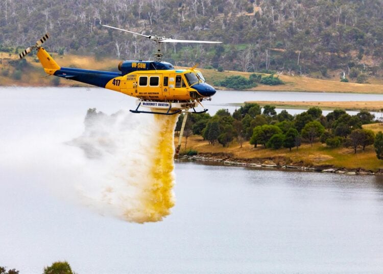
A collaborative research project is improving the data used by aerial firefighters to find nearby water sources.
During active bushfires, aerial firefighting units are dispatched by members of the National Aerial Firefighting Centre (NAFC). NAFC members use a variety of data sources to find suitable nearby water sources for firefighting helicopters and fixed-wing aircraft. It is critical for effective decision-making that the most current and accurate data about the location of water is available as quickly as possible.
The Identifying Water Sources For Aerial Firefighting project is a collaboration between NAFC/AFAC, Natural Hazards Research Australia, Geoscience Australia (GA) and FrontierSI that is improving the reliability and clarity of information about water bodies by adding recently observed water and currency attributes to datasets used by firefighters.
CEO of Natural Hazards Research Australia Andrew Gissing highlighted the benefit of collaborative research when advancing Australia’s bushfire planning technology.
“This project is a great example of ways we can work together to serve emergency management and the community through high-impact research,” he said. “The project team from Natural Hazards Research Australia, NAFC, GA and FrontierSI has delivered new scientific knowledge that’s actionable and useful in keeping our communities safe from bushfire.”
The first phase of this project – now complete – focused on extending an earlier proof-of-concept project developed through the Bushfire and Natural Hazards CRC. A workshop in February 2023 gathered perspectives from several key emergency management agencies across Australia about the ways they currently use waterbody datasets and how these datasets might be improved for bushfire pre-planning decisions.
Users provided insights into new information and software requirements, operational suitability and additional waterbody attributes (such as waterbody features, dataset currency, surrounding environment and biosecurity risks) that would strengthen the relevance and accuracy of existing waterbody datasets.
Following this, the project team (managed by Anthony Gallacher at NAFC) delivered a method to augment GA’s Digital Earth Australia satellite-based data products with the latest water availability information to meet NAFC’s needs.
This significantly improves the accuracy of agencies’ knowledge about nearby water and provides critical support to disaster management planning to facilitate rapid and effective bushfire response. In the past, data about nearby waterbodies might have been months or years old, but now this information is updated regularly and can be easily accessed.
The new system:
- identifies aircraft-accessible waterbodies
- contributes to aircraft selection and allocation based on access to water
- contributes to efficient use of aircraft
- provides information to air desks, air bases and air crews to help their situational awareness and decision-making.


